


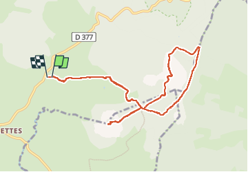

15.2 km | 23 km-effort

User


FREE GPS app for hiking
 SityTrail
IGN / Geographical institutes
SityTrail World
The world is yours!
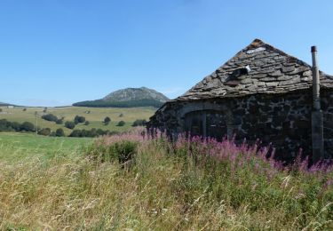
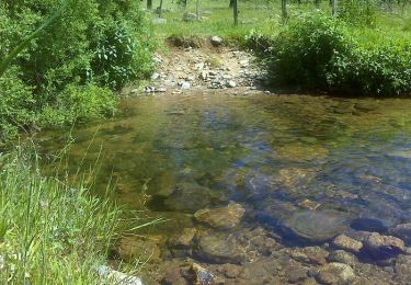
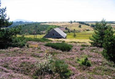
Trail Walking of 10.9 km to be discovered at Auvergne-Rhône-Alpes, Ardèche, Le Béage. This trail is proposed by nadd73.
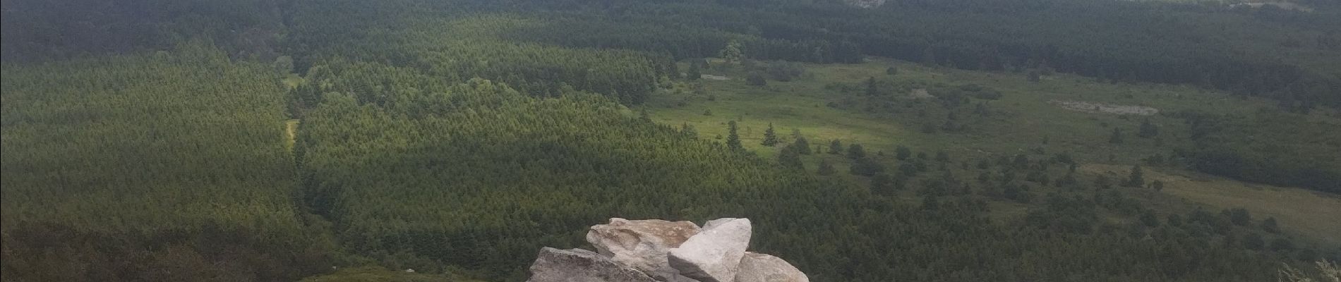
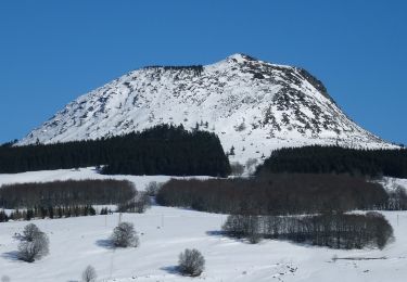
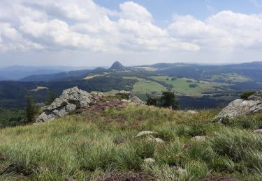
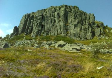
Rencontre de Milan royal, belette et couleuvre. Vue panoramique !


Walking
Walking

Walking

Mountain bike
Walking

Mountain bike
Walking
Walking
Equestrian